Guide to mapping black-grass

Posted 6 years ago
09/07/2020
Mapping black-grass populations in the field should be the foundation of any control programme.
It allows controls to be targeted precisely where needed and enables the effectiveness of management strategies to be monitored over multiple seasons.
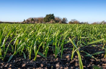
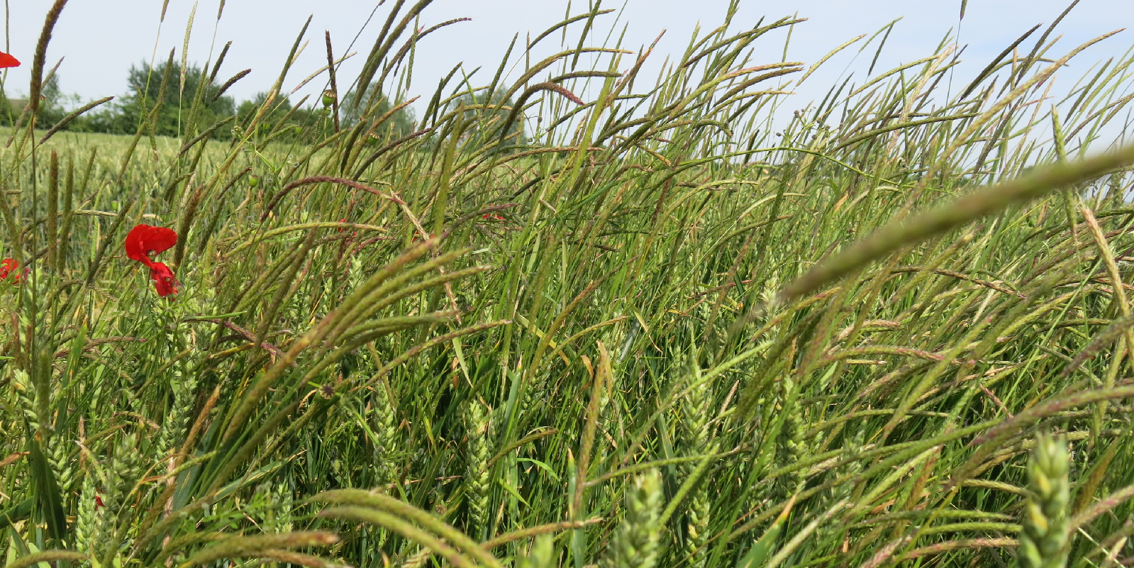
Mapping hotspot areas is more easily done in early summer when black-grass heads are clearly visible above the crop canopy, but before weeds have set seed.
A low-tech approach is to mark areas of black-grass on hard copy field maps, which are kept with other field records to help inform management decisions.
However, digital mapping is widely accessible, is less labour intensive and improves the quality and accuracy of information.
Many mapping systems work by identifying black-grass when it appears above the crop, however advances in sensor technology and data analysis (e.g. NDVI imagery) are allowing younger plants to be identified and accurately mapped earlier in the season.
Raw data can be collected in different ways and transferred directly into precision farming software, such as the Climate Fieldview app for further analysis alongside other “layers” of field data, such as yield or soil maps.
Field walking
One option for black-grass mapping is to walk fields and manually plot affected areas on a digital map.
Several apps are available for smartphones or tablets that allow users to highlight weed areas and record the location on a map using the device’s GPS tracing.
Maps can then be transferred into the mapping feature of many farm and crop management programmes.
It may also be possible to record observations in the cab when passing through the crop during the season, using a smartphone or tablet.
Observations could also be recorded on paper and manually transferred to a digital map on the office computer.
Photographs are another useful record to keep. They can be GPS tagged and saved with mapping information.
Aerial mapping
Aerial mapping using drone-mounted sensors and cameras has become increasingly popular as the technology has advanced and become more widely available.
Basic drone mapping can be done by individuals with an “off-the-shelf” drone fitted with a reasonable quality digital camera.
Depending on the image quality, it may be possible to identify areas of black-grass growing above the crop from pictures taken in June or July, although some “ground-truthing” may be required to ensure variations seen in pictures are due to black-grass and not other factors. Maps can be saved alongside other crop data.
Several companies and agronomy firms offer professional aerial mapping services, which use drone-mounted high-resolution cameras and other sensors to capture multiple images that are processed to create a detailed field map showing areas of weed infestation.
Advanced computer software is often required to analyse images and map weed infestations within crops. Again, results may need to be cross-checked with manual “ground-truthing” to ensure accuracy.
Digital images can be easily transferred into crop management systems such as Climate Fieldview for further analysis.
Autonomous robots fitted with high-resolution cameras promising highly detailed "sub-millimetre resolution” are also being developed, offering even more precise and efficient ways of mapping weed populations.
Another option is satellite mapping. Although satellite photographs can lack the pixel resolution of drone or ground-mounted sensors, and are subject to the restrictions of cloud cover, they are capable of covering large areas quickly and the level of detail is improving.
Some satellite and drone-based systems use near-infrared (NIR) and infra-red (IR) cameras to measure the specific wavelengths of light, know as “spectral signatures” coming from weeds.
Mapping benefits